
Washburn Co. WIGenWeb
| SEARCH |
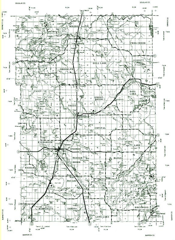
Maps
 More Washburn Co. map links: Also see these historic maps: (Please use your browser's back button to return to this website) DISCLAIMER:
No claim is made to the copyrights of the individual submitters. Data
within this website may be used for personal use only by
individuals researching their ancestry. Commercial use of this
information for profit is strictly prohibited without prior permission
of the owners. Other genealogical websites may link to this website;
however, permission is not granted to duplicate any of the contents.
Anyone contributing material for posting does so in recognition of its
free, non-commercial distribution, as well as the responsibility to
assure that no copyright is violated by the submission. This
website and its coordinator are not responsible for donations of
copyrighted material where explicit written permission has not been
granted for use.
|
© Copyright 1997 - present. All rights reserved. wigenwebcc, Webmaster
This site was first established on 27 Aug 1997